Motion Sickness: Cherokee, NC to Waynesboro, VA Drive
The Cherokee, NC to Waynesboro, VA trip covers about 469 miles (755 km) and takes around 14 hours. The terrain is mountain scenic highway, which makes it a high motion sickness risk route.
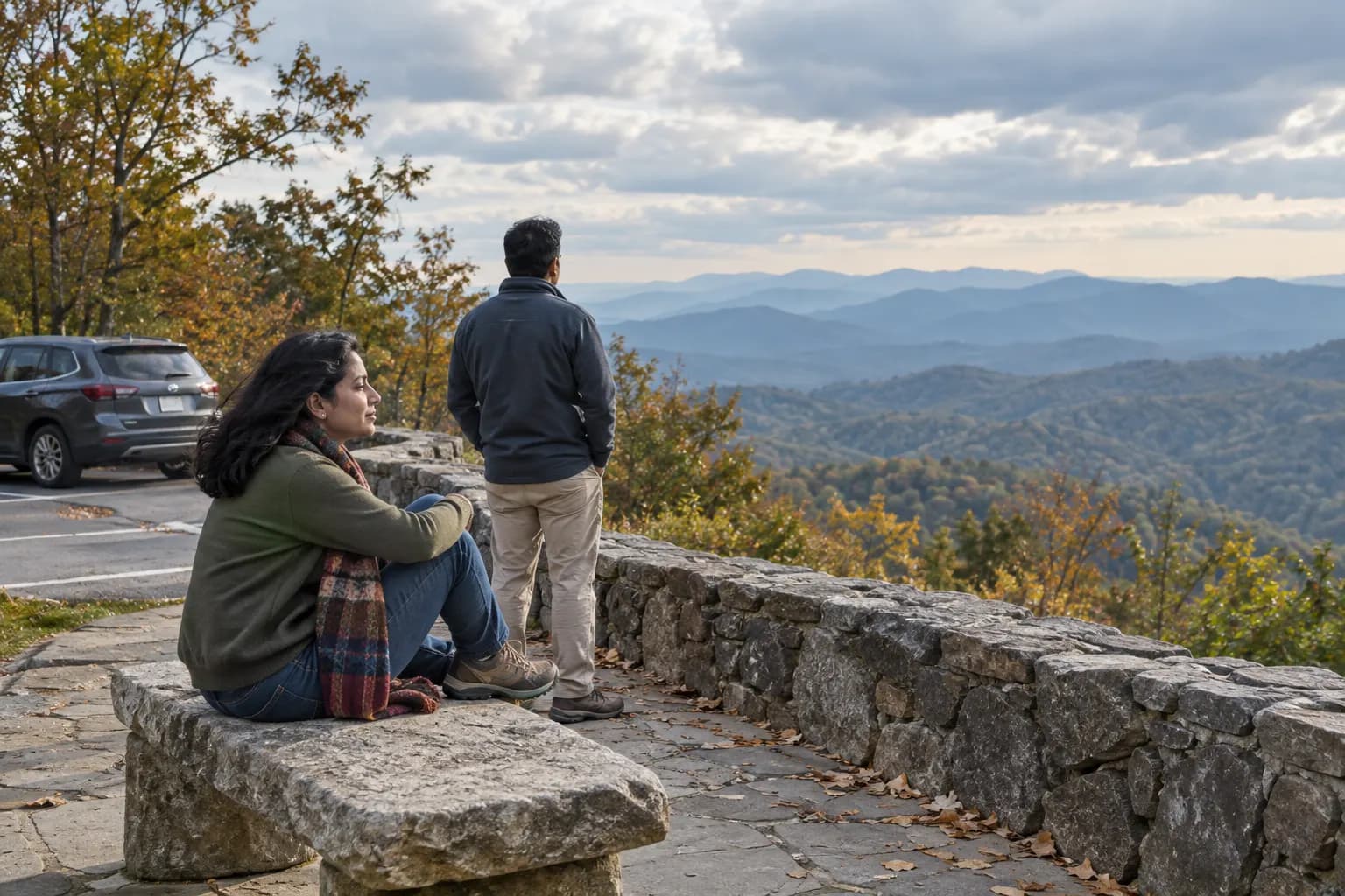
The Blue Ridge Parkway is a 469-mile scenic mountain road with constant curves, elevation changes, and a 45 mph speed limit that means longer exposure than highway driving. The combination of winding road and slow-but-constant motion makes this a difficult route for motion-sensitive passengers - even though scenic, it's not built for speed or comfort.
Key facts
- The Cherokee, NC to Waynesboro, VA trip covers about 469 miles, which is 755 km.
- It takes about 14 hours.
- The terrain is mountain scenic highway, which puts the route in the high band for motion sickness.
- 3 sections are flagged as motion sickness pressure points, starting with Asheville to Boone.
- Steadiest place to sit: Driver's seat, or front passenger with frequent breaks.
Try Dizzout free. Put it on your phone before you go, so it is there when you need it. Drug-free, any headphones.Free · works with any headphones · no account to try
Stop car sickness. Free to try, no card needed. Or go straight to the App Store or Google Play.
Where Motion Sickness Hits Hardest
The sections most likely to trigger motion sickness are: Asheville to Boone (most curves), Linn Cove Viaduct area, Peaks of Otter section. The Blue Ridge Parkway has frequent overlooks designed as stopping points. Use them every 20 to 30 minutes. Don't try to complete the entire route in one day.
Season and closures: Open year round, but sections may close in inclement weather or for maintenance; check closures before a winter drive. nps.gov
Route facts, checked at the source
Each fact below was checked against the linked official or operator page.
- Length: The Parkway meanders for 469 miles. nps.gov
- Speed limit: Mostly 45 mph, occasionally dropping to 25 or 35 mph. nps.gov
- Overlooks: More than 250 overlooks to safely enjoy the views. nps.gov
- Curve design: Decreasing radius curves that tighten as you go through them are a design feature of the parkway. nps.gov
- Tunnels: 26 tunnels along the Parkway, one in Virginia and the rest in North Carolina, mostly south of Asheville. nps.gov
Where you can stop
More than 250 overlooks line the Parkway, per the National Park Service, so a queasy passenger is rarely far from a legal place to stop.
Best Seat for Motion Sickness on This Drive
Driver's seat, or front passenger with frequent breaks.
Going on the Cherokee, NC to Waynesboro, VA drive? Set it up first
Set it up before you pull out, not at the first lay-by. Dizzout is a drug-free app that plays precisely calibrated audio through any headphones you already own, wired or Bluetooth, with relief in about 90 seconds. Free to try.
Before you need it: find out how prone you are
Take the free 2-minute testTwo minutes, no sign-up, and it ends with a drug-free plan to prepare.
Put it on your phone before you go
Free to try, no card needed. Or go straight to the App Store or Google Play.
 Scan to open on your phone
On a computer? Dizzout installs on your phone. Scan the code, or open dizzout.com/get on your phone and it'll take you straight to the right store.
Know someone who gets motion sick?
Send them the app that helps stop it, drug-free, in about 90 seconds, works with any headphones. Free to try.
Prevention Tips for the Cherokee, NC to Waynesboro, VA Drive
- Have Dizzout downloaded before you start, so it is ready the moment symptoms begin
- If you plan to take an over-the-counter tablet such as Bonine or Dramamine, those need 30 to 60 minutes before departure to do anything. Ask a pharmacist first
- Eat lightly before the drive; a heavy meal makes symptoms worse for most people
- Take breaks every 90 minutes minimum on long stretches
- Keep the car cool and well-ventilated
- Avoid reading or phone use in the back seat
Which of those actually hold up when they are tested is a separate question, and we keep the answers in one place: the remedy verdicts, ranked by evidence.
Frequently asked questions
How long does it take to drive the whole Blue Ridge Parkway?
The Parkway runs 469 miles at a mostly 45 mph limit, per the National Park Service, so the driving alone is a multi day undertaking. Plan it as segments over several days: the low speed limit means far longer exposure to curves per mile than an interstate, and that exposure is what wears sensitive passengers down.
Why does the Blue Ridge Parkway feel so twisty at low speed?
Partly by design. The National Park Service notes the Parkway uses decreasing radius curves, bends that tighten as you move through them, and the limit drops to 25 or 35 mph in places. Curves that keep tightening are exactly the kind the inner ear cannot predict, which is why the road feels busier than its speed suggests.
How often can you stop on the Blue Ridge Parkway?
Constantly: the Park Service counts more than 250 overlooks along the route. That is the Parkway's saving grace for carsick passengers. Stop at the first sign of symptoms, let eyes settle on the mountains, and the short exposure between overlooks becomes manageable.
Are there tunnels on the Blue Ridge Parkway?
26, per the National Park Service: one in Virginia and the rest in North Carolina, mostly south of Asheville. The southern section adds repeated light to dark transitions on top of the curves; sunglasses off and eyes ahead makes them easier.
Is the Blue Ridge Parkway open in winter?
It is open year round, but the Park Service closes sections in bad weather and for maintenance, and high stretches can shut for ice. Check current closures before a winter drive so you are not rerouted onto steeper local roads mid trip.
What's the fastest way to stop car sickness mid-drive?
Once symptoms have started, pills won't work fast enough - they take 30+ minutes to kick in. The fastest options mid-drive are sound therapy via headphones (Dizzout states relief in about 90 seconds), pulling over for fresh air, and looking at the distant horizon.
Other drives we have looked at
Route facts last checked September 2026. Roads, rules and seasons change; the linked official pages are the live word.